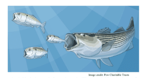
C-Map Charts Now Tell You Where Not To Fish
One purpose of electronic charts is to help tell you where to catch fish. Well, now there’s an electronic chart feature that tells you where not to fish.
C-Map electronic charts for southern California are now embedded with the boundaries and regulations of the new Marine Protected Areas (MPAs).
Southern California’s MPAs went into effect January 1, closing or restricting roughly 354 square miles (or about 15 percent) of coastal waters to both recreational and commercial fishing. Knowing the precise borders and rules for these new areas has proven challenging for boating anglers.
However, the latest iteration of C-Map 4D, MAX and NT+ cartography pinpoints the boundaries on a compatible GPS/chartplotter, and allows you to bring up the regulations on-screen. Owners of older 4D, MAX or NT+ charts can purchase updated charts at reduced rates, according to C-Map.
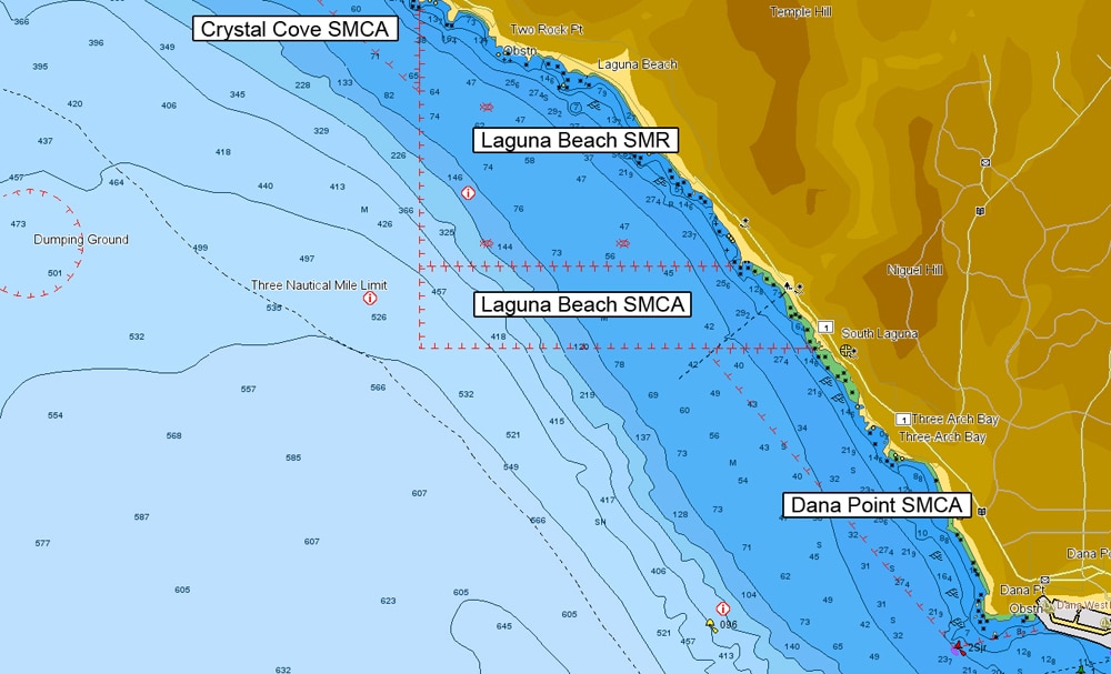
The charts outline both existing and new State Marine Reserves (SMRs) in which fishing is prohibited. These are marked as “Fishing Prohibition Areas” displaying X’d out fish symbol wallpaper inside this type of MPA.
New and existing State Marine Conservation Areas (SMCAs) in which limited fishing may be allowed are encoded as Fishing Restriction Areas and display as a red boundary on the chart.
In addition, if you scroll the cursor over the diamond-shaped “i” icon within each MPA, it will bring up a text box listing the regulations for the area.
For 2012, southern California MPAs includes 18 new or modified SMCAs that allow limited recreational take (plus two pre-existing SMCAs at Anacapa and Santa Cruz Islands), 11 new “No-Take” SMCAs, eight new “No-Take” SMRs (plus 11 pre-existing SMRs around the Northern Channel Islands and Santa Barbara Island), and two pre-existing special closures at San Miguel and Anacapa Islands.
C-Map cartography is compatible with a wide range of existing and new chartplotters from brands such as Furuno, Geonav, Interphase, Si-Tex and Standard Horizon. New chart cards with the MPA data are $199, while upgrades for existing owners are $89.
I have bought all kinds of electronics and gear to help me find more fish, but this is a first – spending $200 on something to help ensure that I do not catch fish. Hopefully it will also keep me from getting a big ticket from the water cops.
To learn more about the latest C-Map by Jeppesen electronic charts, visit jeppesen.com/lightmarine.