Most boaters I know rarely bother with the route function in their chart plotters. If they have to run a circuitous route and can’t eyeball it, they enter a waypoint for each leg.
Utilizing electronic chart data, a route function on a plotter does the same thing but allows you to plan your trip, so you aren’t fiddling with your electronics while underway — a distraction from maintaining a prudent lookout.
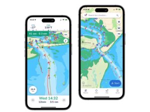
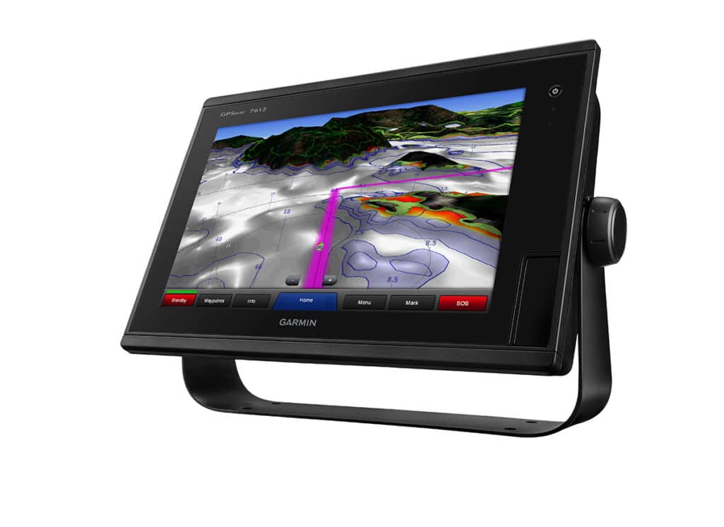
Touch-screen displays make route planning simple. Many plotters allow you to tap the screen to create points around charted hazards such as shoals and headlands, and then the machine connects the dots to create a course. It’s even easier with advanced chart plotter/electronic chart combinations such as Garmin BlueChart g2 Vision and Raymarine C-MAP 4D. The Auto Guidance and Easy Routing features, respectively, create safe routes automatically. Safety depends on the most current chart data and critical vessel information, including draft and height. (Always review routes before running them.) Once you do this, these systems will figure out the shortest and safest route.