After a long day fishing, we stopped at Champlin’s Marina on Block Island to fuel up for the sprint back to the mainland. While gas flowed into the boat’s fuel fill, a freak summer storm surprised us, opening up the skies overhead. It must have surprised others too, because before we could pay we met a drenched boater who’d tucked into the Great Salt Pond for safety. “Don’t go out there,” he told us. “The Sound’s kicked up to 6-footers, and it’s not about to lay down.”
Taking on 6-footers in our small center-console was not an idea we relished, but we decided to poke the bow outside the harbor to see whether we could make it home. To our eyes, the waves in Block Island Sound more closely resembled 3-footers. That’s uncomfortable, for sure, but not something to make us stay in port and roll our sleeping bags out on the decks.
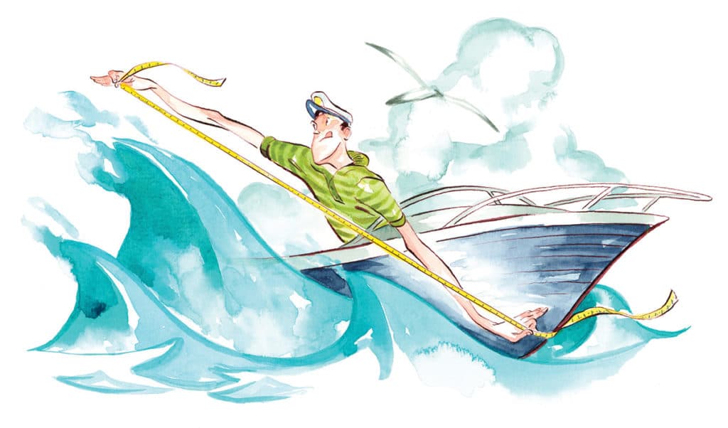
How did our fellow boater get the conditions so wrong? Estimating wave height is, at best, an inaccurate science. That’s because while rolling in waves and swells, a boater’s line of sight typically runs at an angle to the wave he is trying to measure, causing his perception to distort. So waves can seem bigger, or smaller, than they actually are. Wave period also plays a role, as tightly stacked 2-footers can seem bigger and more intimidating than well-spaced 5-footers.
In terms of seamanship, it’s more important to know whether the seas are building or subsiding, and how wave period and direction will affect your ability to make way. Still, making a proper estimation of wave height is significant for assessing your level of safety outside the inlet.
So how can you get an accurate sense of the waves? The best time to gauge is when your boat is nestled in a trough between two crests. Before you even head out, measure how high above the waterline the deck sits at the helm. If it were 1 foot, then in the trough your feet would be that high above the water. So a 6-foot-tall person standing upright at the helm could assume his eyes were about 7 feet up from the bottom of the trough. If the crest of the wave is at eye level, then it’s a 7-footer; a waist-high wave would be about 3 feet, and a knee-high wave about a foot and a half.
Remember, pitch and roll will ensure that the boat — and your eyes — will be at an angle more often than not, so you may not get a true measure. It’s best to rely on technology. The National Oceanic and Atmospheric Administration measures sea conditions via a series of buoys and tide stations. Lucky for us, there’s an app called NOAA Buoy and Tide Data ($1.99, iTunes) that you can use to read weather data from the nearest buoy. The most detailed buoy readings will provide info, such as wind speed and direction, significant wave height, dominant wave period and the atmospheric pressure trend (whether it’s rising or falling). The caveat is the closest buoy might be 20 to 30 miles away, or it might provide only basic data, such as water and air temperature. Another app, called Buoyweather, provides real-time sea-state information ($4.99, iTunes). The Buoyweather website and free app also provide free marine forecasts. A free app called FishWeather provides hourly wind and wave height information for specific locations.
If you don’t have access to technology, keep a printout of the Beaufort scale on board. NOAA’s website provides an easy-to-decipher table that tells you what conditions to expect based on wind speed (spc.noaa.gov/faq/tornado/beaufort.html).
Be prepared so you’ll never have to decide to go out — or stay home — based on someone else’s estimation of the waves.