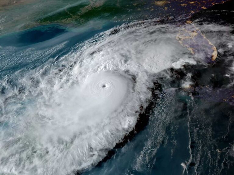
We’re addicted to our smartphone. We go boating to escape it but pull it out to check the weather. Here are three weather apps we use and why we like them, or not.
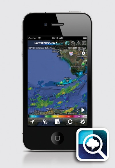
WeatherTap Zoom
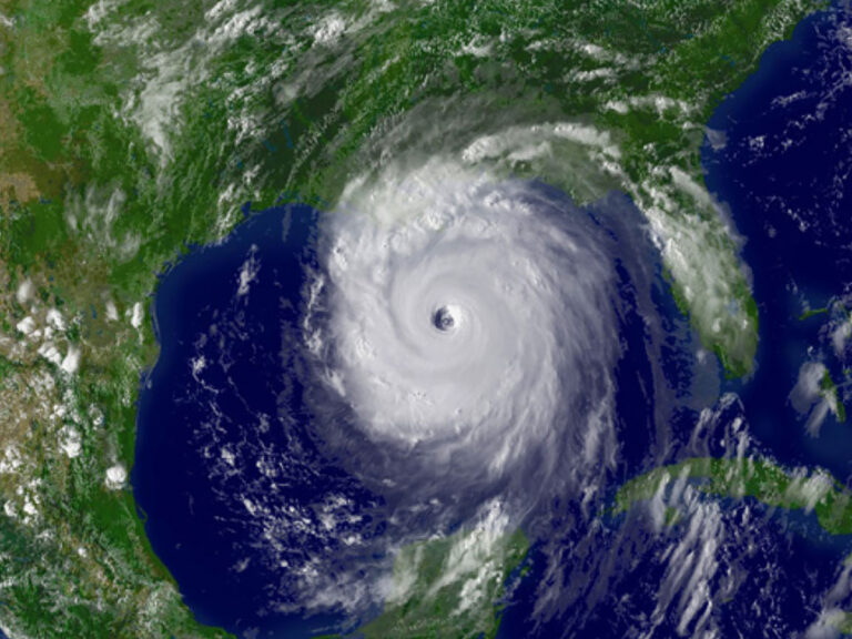
Forecast: Real-time weather superimposed over Google maps. Tap on a spot to see the map and tap on a pin to see the forecast. Radar overlay is animated, showing direction of travel, and storm intensity shows the toughest weather in red. Since a front can be made up of several cells, each with its own track, this app also indicates the direction and intensity of winds in each cell.
Dark Cloud: Forecast pins don’t offer complete coverage around the United States.
Numbers: Free ($9.99 for Pro version); weathertap.com
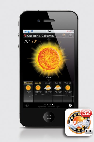
EWeather HD
Forecast: Provides basic current weather info and 10-day forecasts for the quick hit but also allows you to scroll through functions, such as barometer readings, wind speed and direction, sunrise and sunset, and the moon phases, among others. It also has a radar overlay to view the last six hours of storm movement. It allows you to set up push alerts so your phone will buzz if severe weather is nigh.
Dark Cloud: The radar overlay is not as detailed or as precise as on other apps.
Numbers: $1.99; iTunes
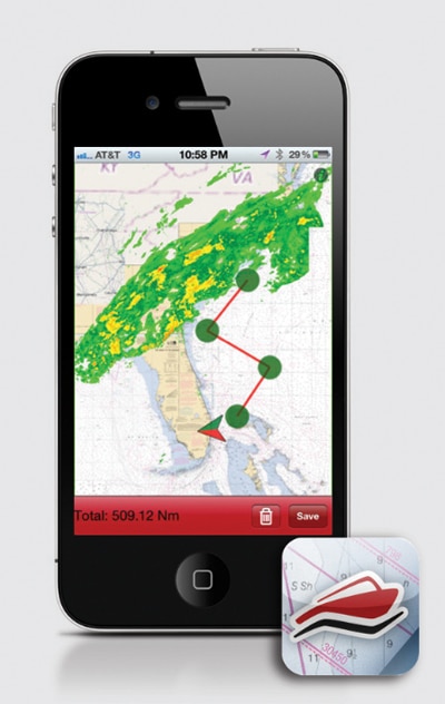
EarthNC Marine Charts for IPhone
Forecast: You’ll get the full gamut of NOAA coastal and Great Lakes charts for the United States, plus inland waterways charted by the Army Corps of Engineers. The charts update every seven days and, for the weather junkie, provide real-time marine weather and tide information. The app has a NOAA radar overlay function so you can watch weather patterns over the charts.
Dark Cloud: Pricey if your main interest is quick weather. The main function is navigation.
Numbers: $19.99; earthnc.com