The latest enhancement to electronic charting technology gives boaters the ability to instantly create their own high-resolution marine charts — cartography with more detail and up-to-date depth data than anything you can buy off the shelf. This is real-time charting that you can utilize immediately and in the future.
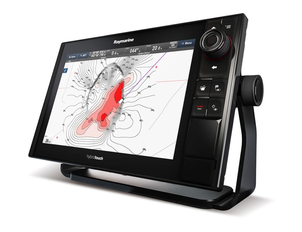
Three marine electronics brands now offer this technology: Humminbird with AutoChart Live, Garmin with Quickdraw Contours, and Raymarine with the Navionics SonarChart Live. Older plotters might require software upgrades (usually free online).
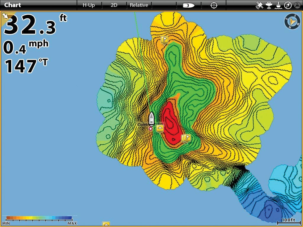
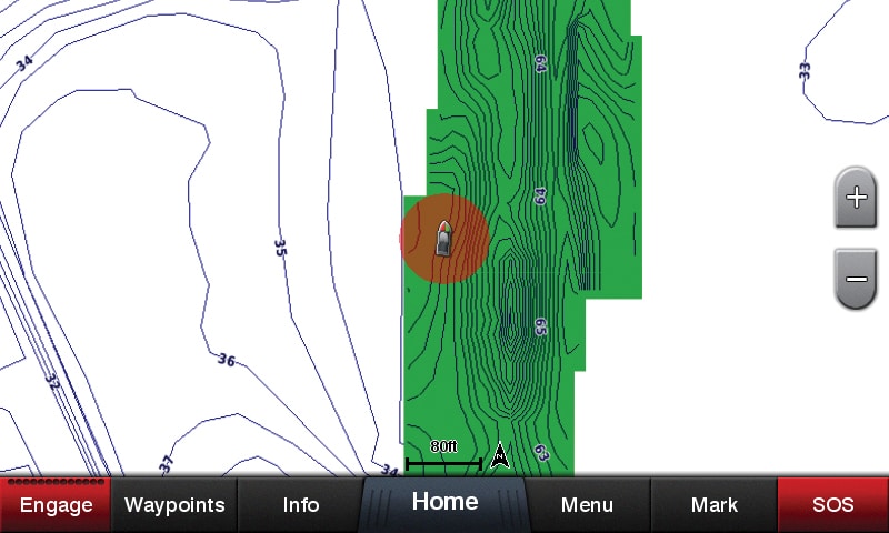
Activating live-charting functions is as easy as pressing a few buttons on the touchscreen menu of your compatible plotter or fish-finder system. Depth contours are selectable down to 1-foot increments. You can make the live-chart overlay semitransparent, allowing you to read chart data underneath for safe navigation.
Humminbird’s AutoChart Live and Garmin’s Quickdraw Contours are free. An annual subscription ($99) to the Navionics Freshest Data club is needed to use SonarChart Live with a Raymarine plotter.
The technology can save you money. “Since you’re adding new HD chart data all the time, you don’t have to buy updated chart cards as often,” says David Dunn, senior manager for marine sales and marketing for Garmin.
Real-time charting systems work with any networked fish finder, such as a conventional 50/200 kHz system, chirp fish finder, or scanning sonar. To create the most complete outline of the seabed, experts advise that you go slow and make several passes over the area you wish to chart in greater detail.