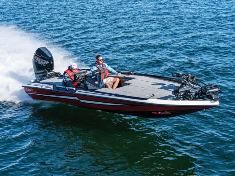
In talking with boaters, be they readers, marina mates or folks I meet on the water, it’s become apparent that some are baffled by buoys. The crux of the problem, as I’ve discerned it, is the supposition that navaids tell loads of detailed information — that they are supposed to be interpreted, only after long experience, like hoodoo chicken bones, a racing form or a conversation with a woman in late-stage pregnancy.
In fact, navaids give very simple information. The first buoys in the United States were casks, placed in the Delaware River in 1767 to mark shoals. They weren’t color-coded, lit or equipped with sound signals. In fact, casks and spars were used until the 1860s, when standardized sizes and colors and, subsequently, our present-day lateral system were emplaced. Before that, every port had different shapes, sizes and colors of buoys and markers. Those required interpretation. They simply told boatmen that something was there to be avoided. It was up to the skipper to see the riffle over an awash rock, the color change over a ledge, the wading birds. …
We can look at things the same way the old river men did. You see a red light flashing out of the gloom of night. Count: One, one thousand, two, one thousand, three and blink. That’s a light with a 2.5-second flash. Now look at the chart, paper or digital, and find the aid that matches that characteristic. Simple. If you know where you are, then you’re not lost. It’s a tiny bit of information but a very big deal on a black night with a blow coming on.
Red, right, return — the cutesy method of remembering the lateral system — also trips up a lot of boaters I’ve spoken with. I think that while repeating that mantra, they are trying to ascertain if it also means green, right, depart, which it does, but while their brain is engaged with that, they run up on the ledge. And of course there are many coastal stretches where “seaward” is an arbitrary direction.
Instead of port and starboard, left and right, try using basic directions (or that spinning thing with 360 little marks on it mounted in front of your wheel). You should most always be on the same side of the buoy, regardless of the direction you are going. If a green can marks the northern edge of a channel when heading east, then guess what? It still marks the northern edge of that channel when you return heading west. Instead of juggling colors, lateral positions and nominal directions, just remember that most navaids mark the edges of channels, the limit of water that has been sounded as safe. You are always on the same side of same-color markers. Most helpful is to study the chart before starting your cruise and get a mental picture of the underwater topography. You don’t have to remember the number and color of every marker. Simply write, “Pass north of all greens” or “Keep east of all reds until inlet” in grease pencil (which wipes off easily) on your windshield. That way you don’t have to remember aphorisms, slogans and Sea Tow’s phone number. All you have to do is head at the marks, slowly and directly. If in doubt, mind your sounder and keep an eye out for riffles, color changes and wading birds.
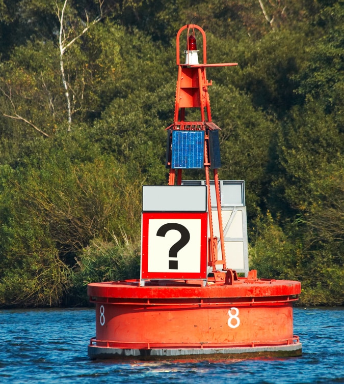
Quick Tip: All red aids to navigation (ATONs) are conical or triangular, while all green ATONs are cylindrical or square.