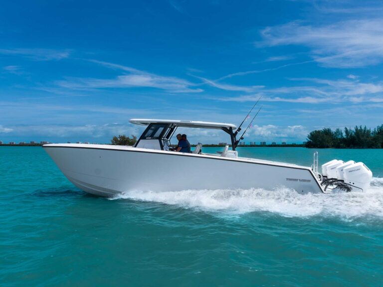
It was 1995, and a good friend from St. Thomas decided he’d been through one too many hurricanes. His idea was to move below where the big storms blow, which is south of the 12-degree line of latitude. If he wanted to stay in the Caribbean, there was only one logical choice: Trinidad and Tobago.
During his multimonth cruise aboard his Fales 32 Navigator motorsailor, he didn’t tow an inflatable dinghy, even though everyone else does. Instead, he towed something much more valuable — a proton magnetometer. The towed “fish” of a proton mag is designed to detect ferrous metals — iron — and one day while cruising near an island, he got a hit — a big one. The next thing I knew, I was on a plane down-island to see what the commotion was all about. It turned out that my friend had stumbled upon not just one but several old anchors, and after further research, he realized he’d discovered the wreck site of several ships dating back to the golden age of piracy. According to the manifests, they were loaded with millions of dollars’ worth of gold and silver from the Tierra Firme, aka Spanish Main. And so the treasure hunt began.
Fast forward two decades. Not much happened in the 20 years since that discovery. We had neither a salvage permit from the government nor the funds to conduct a salvage operation. But recently, the planets lined up. I met a wealthy investor who was already involved in treasure hunting and interested in our project. At the same time, the government contacted us, letting us know it was accepting applications from interested salvage companies. The moment we’d been waiting for had arrived. We would return to the island in an effort to relocate the anchors and carbon-date them for proof of age.
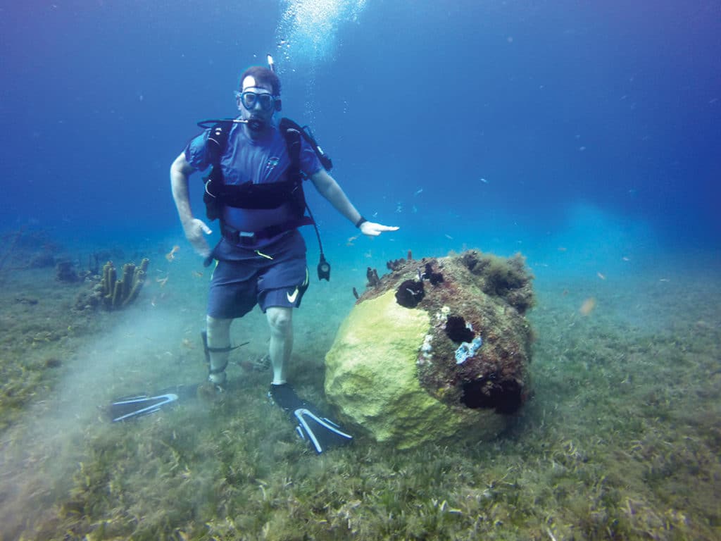
The problem was that my friend lost the GPS coordinates from his brick-size Magellan, and the only other tools we had were a blurry photo of the shoreline and some tequila-soaked memories. That’s when I decided to contact Lowrance and enlist the power of its HDS-9 Gen3 multifunction display with StructureScan sonar. As you can see from the photo, we were looking for an anchor lying against an isolated coral head, and my hope was that the side-scanning sonar would be accurate and detailed enough to pick up a single coral head 40 feet down. Turns out, I was right.
The setup for this unit involved attaching two transducers to the transom — one down-looking and one side-scanning — using a SeaSucker mount, and we tested this over a known shipwreck before heading down-island. The unit worked perfectly.
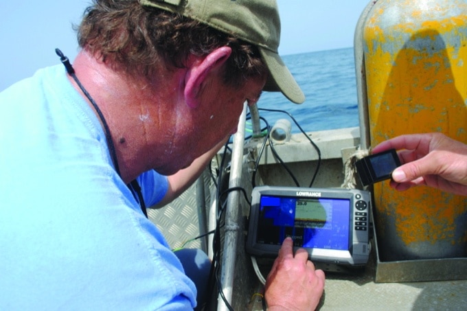
Once we were on location with our C-Map chart chip installed, we began “mowing the lawn” in a series of east-west passes, all the while using the sonar log to record our depth and position simultaneously. When we returned home, we uploaded the data to create the structure map (pictured), which really shows color-depth contours as opposed to bottom structure.
It is a simple matter to do a quick “one-touch” on the screen to mark a waypoint. That was critical because we had to return to each spot immediately for underwater investigation, since we only had one day to dive.
We dived on two waypoints without success, but the third one was the charm. We did indeed find an isolated coral head only to discover that the anchor and ring were gone and the bottom was now covered in an invasive species of sea grass. But the Lowrance HDS Gen3 did its job and found the coral head.
Upon further topside review, we discovered that the shoreline photo was of the wrong spot, and thanks to Google Earth and multiple conference calls, we realized the actual location of the anchor is several miles north of where we were on this mission. So we will return to the island again in search of the treasure, and C-Map and the Lowrance HDS Gen3 will be right there with us for the ride.